Antarctic remote GPS monitoring
The program monitors the post-glacial rebound which may be occurring near the Lambert Glacier, Antarctica since the Last Glacial Maximum.
Research themes
Content navigation
About
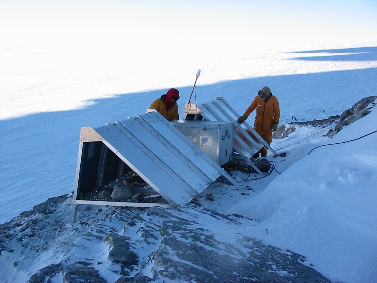
The program monitors the postglacial rebound which may be occurring near the Lambert Glacier, Prince Charles Mountains, Antarctica since the Last Glacial Maximum. A transect of permanent GPS sites has been established from the coast up to 450 km inland. The aim of the project is to estimate absolute vertical velocities of the sites and, coupled with other geophysical data, to discriminate between several different ice models for the Antarctic continent.
As part of the Ocean US oceanographic project, two Iridium L-Band transmitters have been provided to RSES for installation at remote GPS sites in Antarctica. These satellite modems will be installed at Dalton Corner and Komsomolskiy Peak, two sites that are too far south for the Inmarsat data transmission system to work reliably. The use of the Iridium satellite modems will permit data to be transmitted from these two remote sites on a daily basis back to RSES.
