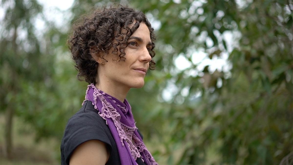
ANU research helps firefighters on the front line
As catastrophic fires burn across NSW this week, ANU Researcher Dr Marta Yebra is advising fire authorities about where to deploy firefighting resources.
Dr Yebra has flown to the Rural Fire Service (RFS) headquarters in Sydney, where her research is providing fire managers with more accurate data about fire behavior.
“Our research is being used here by the RFS to make informed decisions about where a fire may spread, and what areas should be prioritised when sending resources and equipment,” Dr Yebra said.
The Bushfire and Natural Hazard Cooperative Research Centre uses remote sensing techniques from satellites to map fuel conditions and flammability. Fire services and land managers need this information to undertake hazard reduction burns to prepare for the fire season, and to anticipate the difficulty of suppressing bushfires during the fire season.
“At present, fire services use simple empirical equations to get an approximate estimate of vegetation condition at a local scale,” Dr Yebra said.
“With my team, I developed techniques to retrieve up-to-date information on fuel moisture at national scale, by analysing how sunlight travels through different fuel types. Fuel moisture content affects the reflection, absorption and scattering of sunlight in different wavelengths, and that is how we can produce spatial information of flammability from satellite images.”
The ANU team uses laser scanning data collected from airplanes, or LiDAR, to derive detailed information on forest structure and load. This data is used to create information-rich maps which are then used to assess fire risk across the landscape and over time.
Today in Sydney, this research will add to the data used by fire services to determine where the highest risks are, and plan their response.
Dr Yebra attributes the severity of this week’s fires to climatic factors.
“What’s important to remember is that the vegetation or fuel load is incredibly dry, with moisture levels well below the critical thresholds,” Dr Yebra said.
“That means that the landscape is extremely flammable and super easy to burn if there is any ignition source.
“If we link this with severe fire weather conditions, such as high temperatures and strong winds, we have all the ingredients for a very long and severe fire season.
“Technically we are still in the early fire season in the traditional sense, but we are already experiencing catastrophic weather conditions with several intense uncontrolled fires today in NSW alone.”
Dr Yebra says that if things don’t improve over the coming weeks with some rain, fires are likely to continue throughout the summer.
“Climate change has a first order effect in fire weather including temperature, relative humidity and winds, as well as a secondary effect of fuel.
“As temperatures rise and the weather gets drier, the fuel (vegetation) dries, creating the tinderbox conditions you see today.”
Dr Yebra says these conditions can also have an impact on our ability to reduce risk through controlled hazard reduction burning in the cooler months outside the fire season.
“The window of opportunity for a controlled burn is often very short. You need to have no fire weather, and fuel with moisture conditions above the critical threshold associate with major fire events so that the fire doesn’t get out of control.
“The increased dryness of the landscape has meant that it has been harder to find those favourable conditions for a reduction burn.”

