
Eyes in space to spot bushfire danger zones
Eye in the sky to spot bushfire danger zones.
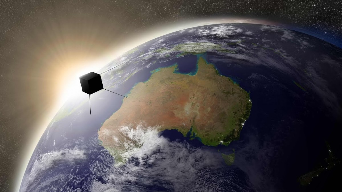
Scientists at The Australian National University (ANU) will lead the development of the first Australian satellite designed to predict where bushfires are likely to start and those that will be difficult to contain.
The new satellite will accurately measure forest fuel load and vegetation moisture levels across Australia. The technology will be specifically tuned to detect changes in Australian plants and trees such as eucalypts, which are highly flammable.
The shoe box-sized satellite will be designed, developed and built at the ANU Mt Stromlo campus with the goal of enhancing Australia-wide bushfire management and prevention.
The ANU Institute for Space (InSpace) has awarded $1 million to the team to build an optical system that can detect these changes on the ground through infrared detectors on-board the satellite. The ANU team will partner with other researchers and the private sector to complete the project and launch the new satellite into low-Earth orbit.
Remote-sensing expert Dr Marta Yebra is working with instrument scientist Dr Rob Sharp to plan the development of the satellite. Dr Yebra regularly consults with emergency agencies and response teams across Australia on the bushfire risks posed by fuel loads, and advised NSW Rural Fire Service during the recent unprecedented bushfire season.
"With this mission we will receive high-resolution infrared images and data of fuel conditions that will help firefighters on the ground," said Dr Yebra, an InSpace Mission Specialist from the Fenner School of Environment and Society and the Research School of Aerospace, Mechanical and Environmental Engineering at ANU.
"This infrared technology and data, which is not currently available, will help to target controlled burns that can reduce the frequency and severity of bushfires, as well as their long-term impacts on Australia's people, economy, and environment.
"I never dreamed I would be designing a space mission to get the specific data on fuel conditions that firefighters need to plan ahead of bushfire seasons."
The satellite is a compact and lightweight system that still delivers ensures the sensitivity and ground resolution or other major detectors and telescopes, Professor Sharp said.
"Our project builds on the University's expertise in infrared-sensor systems," said Professor Sharp, an InSpace Mission Specialist from the Advanced Instrumentation Technology Centre within the ANU Research School of Astronomy and Astrophysics.
The new satellite will be the first in a constellation of Australian satellites that monitor the landscape and environment, Dr Yebra said.
"The constellation will be designed to have a positive impact on Australia's property management, insurance, geological, agriculture and defence industries," she said.
"We will gradually build up our capacity to monitor these bushfire risks in Australia. At first, we will focus on long-term monitoring. Within the next five years, we plan to be able to monitor changes to our landscape and environment in real time."
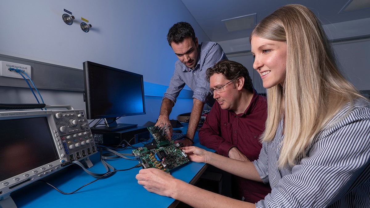
Lead Engineer Dr James Gilbert, Professor Rob Sharp and Instrumentation Engineer Shanae King, From the ANU Research School of Astronomy and Astrophysics. Image: Lannon Harley.